
Spicker GIS Services is a Geographic Information Systems company based in Surrey, BC. It was established in 2010 and is owned an operated by Rosemary Spicker, a GIS Specialist with over 19 years of experience in GIS. She has a Bachelor of Science degree in Biology fron the University of British Columbia, a Diploma of Technology in Renewable Resources (Fish, Wildlife and Recreation Option) and an Advanced Diploma in Engineering Technology (Geographic Information Systems). The two diplomas are from the British Columbia Institute of Technology. In 2008, she was certified as a Geomatics Specialist by the Canadain Institute of Geomatics.
Spicker GIS Services has worked for a number of Aboriginal groups and governments in Nunavut, Northwest Territiories, British Columbia and Ontario as well as a variety of companies inclucing environmental consultants and mineral exploration companies.
Their list of clients includes:
Services
General GIS Services
- Create field maps, report maps and presentation figures for clients
- Manage GIS databases for clients
- Digitize paper maps to create digital datasets
Traditional Knowledge / Traditional Use Services
- Create, manage and update traditional knowledge (TK) GIS databases for Aboriginal groups
- Work in communities to train local researchers in the basics of GIS
- Work to develop customized applications to run TK databases within a GIS system
Modelling Services
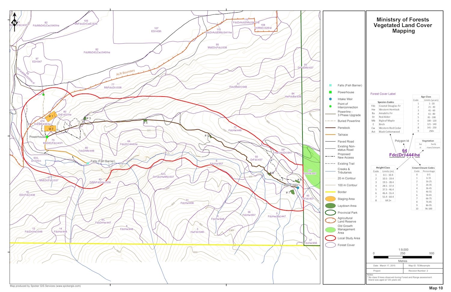
- Work with ecologists to create Terrestrial Ecosystem Mapping (TEM) products
- Build and manage data required for Predictive Ecosystem Mapping (PEM) work using LandmapperTM software
- Work with wildlife biologists to develop enhanced habitat suitability models for various mammal species
- Classify satellite imagery for use in modeling work
- Create simulated visualizations of sites using Visual Nature Studio (VNS) software
Map Gallery
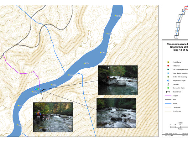
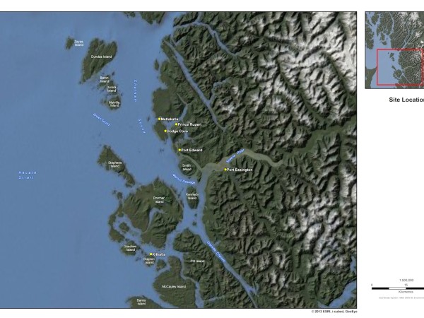
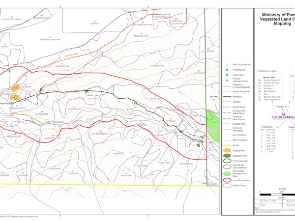
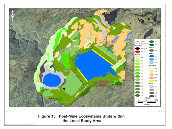
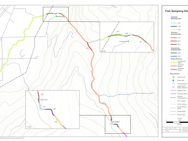
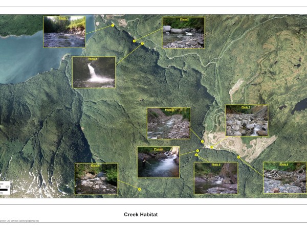
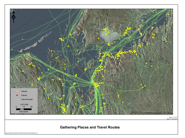
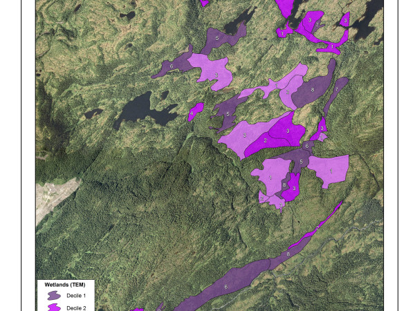
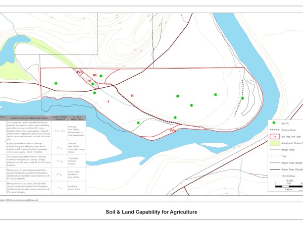
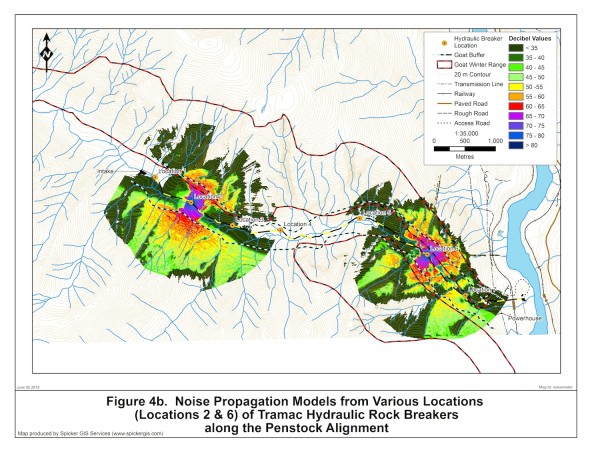
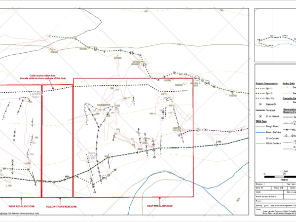
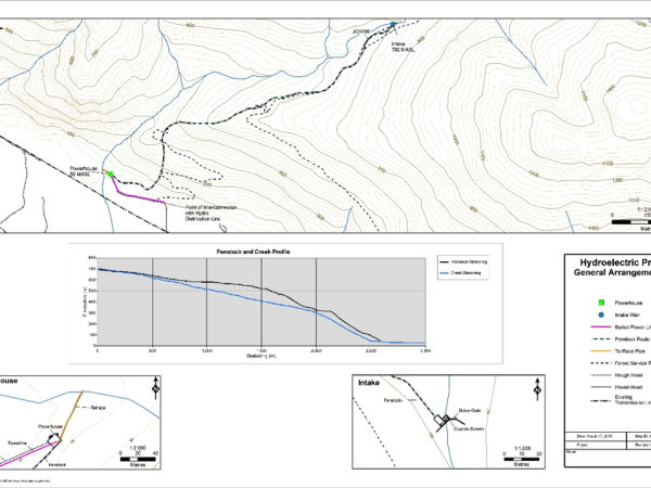
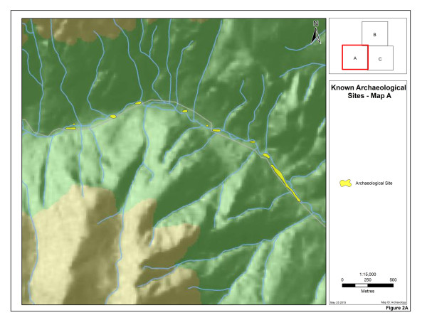
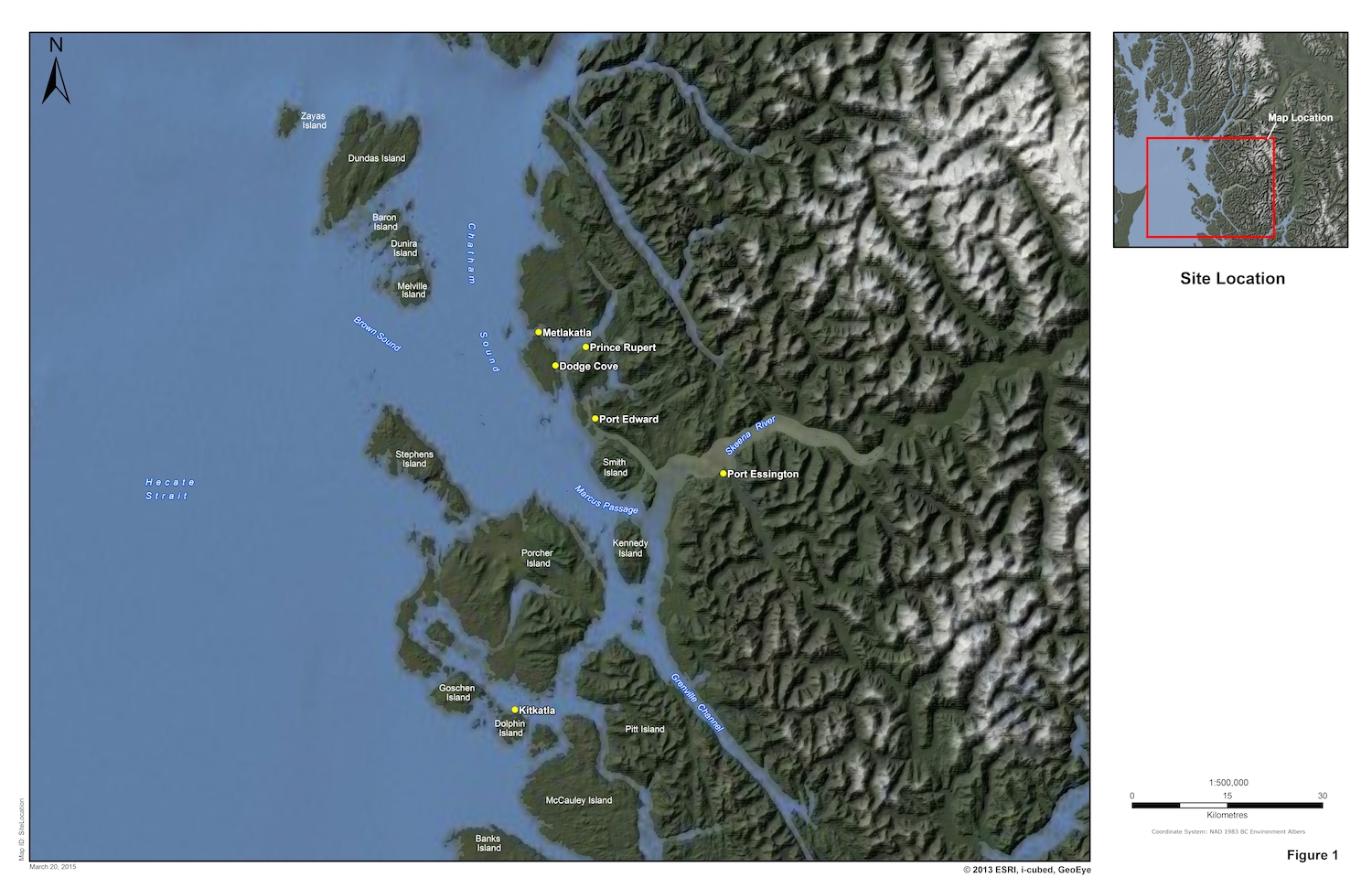
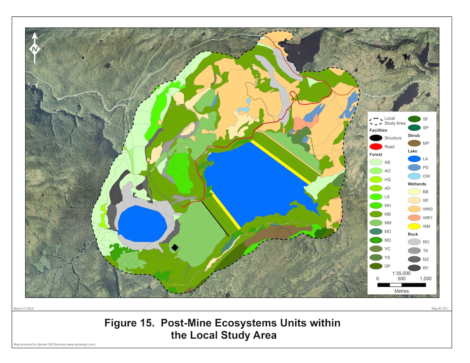
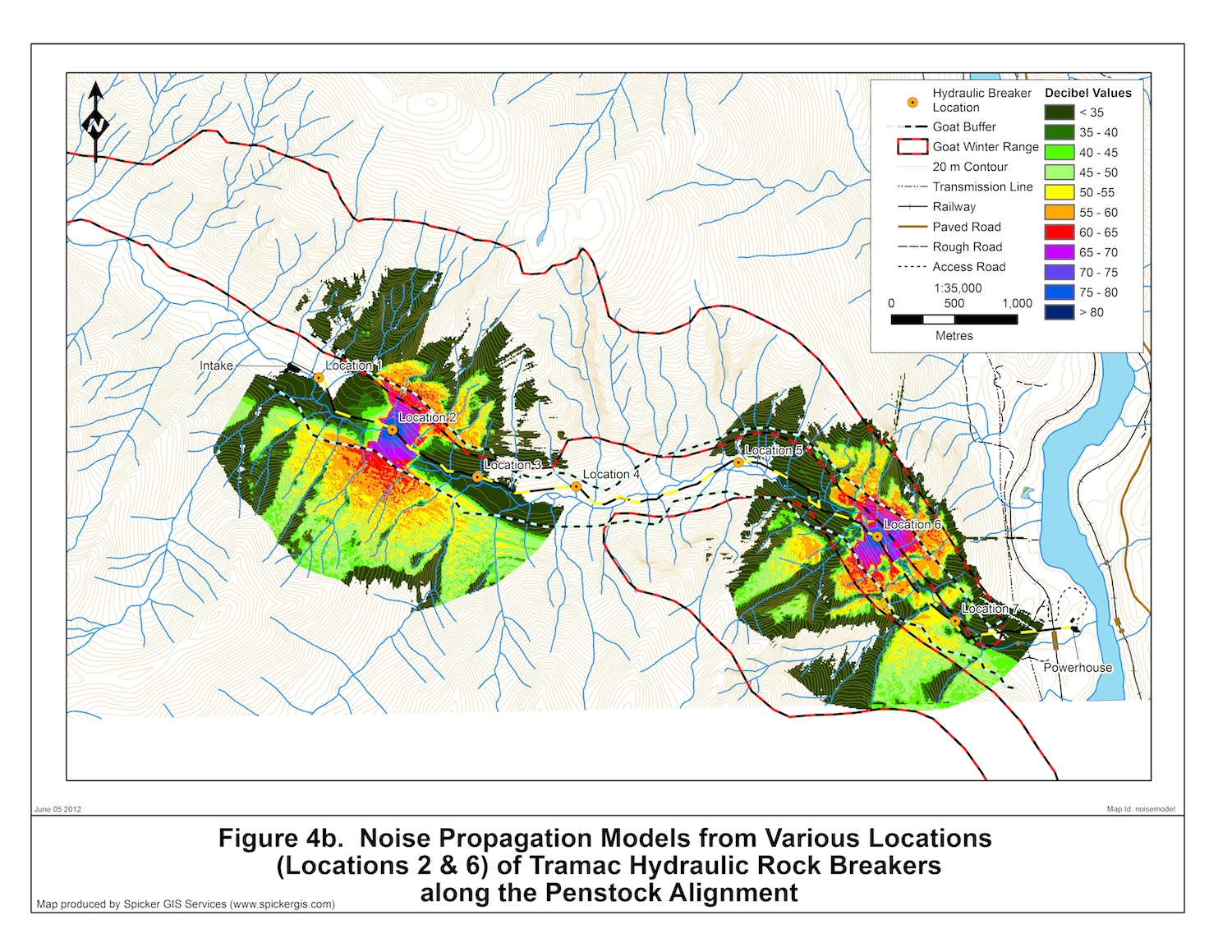
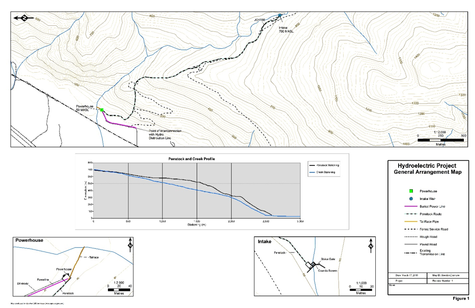
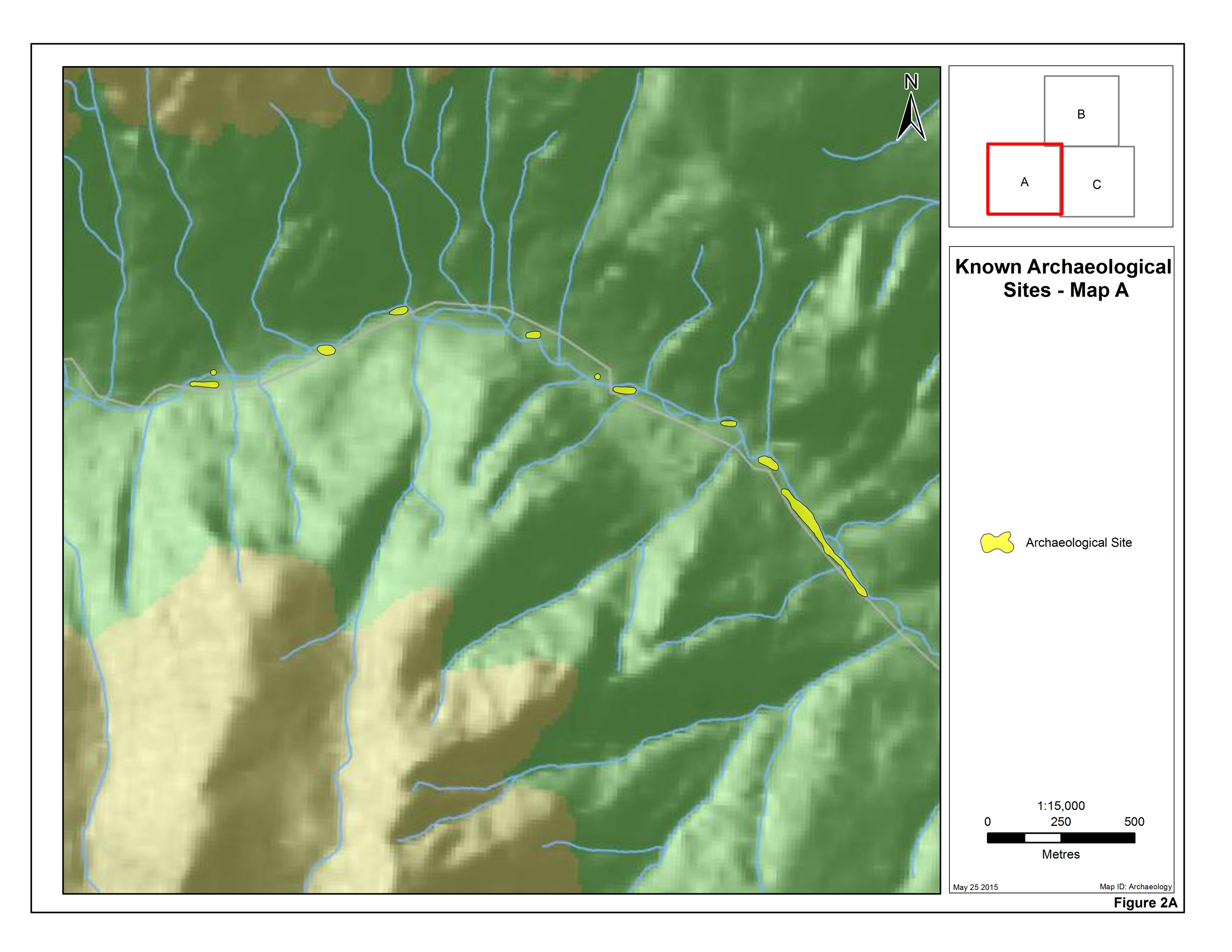
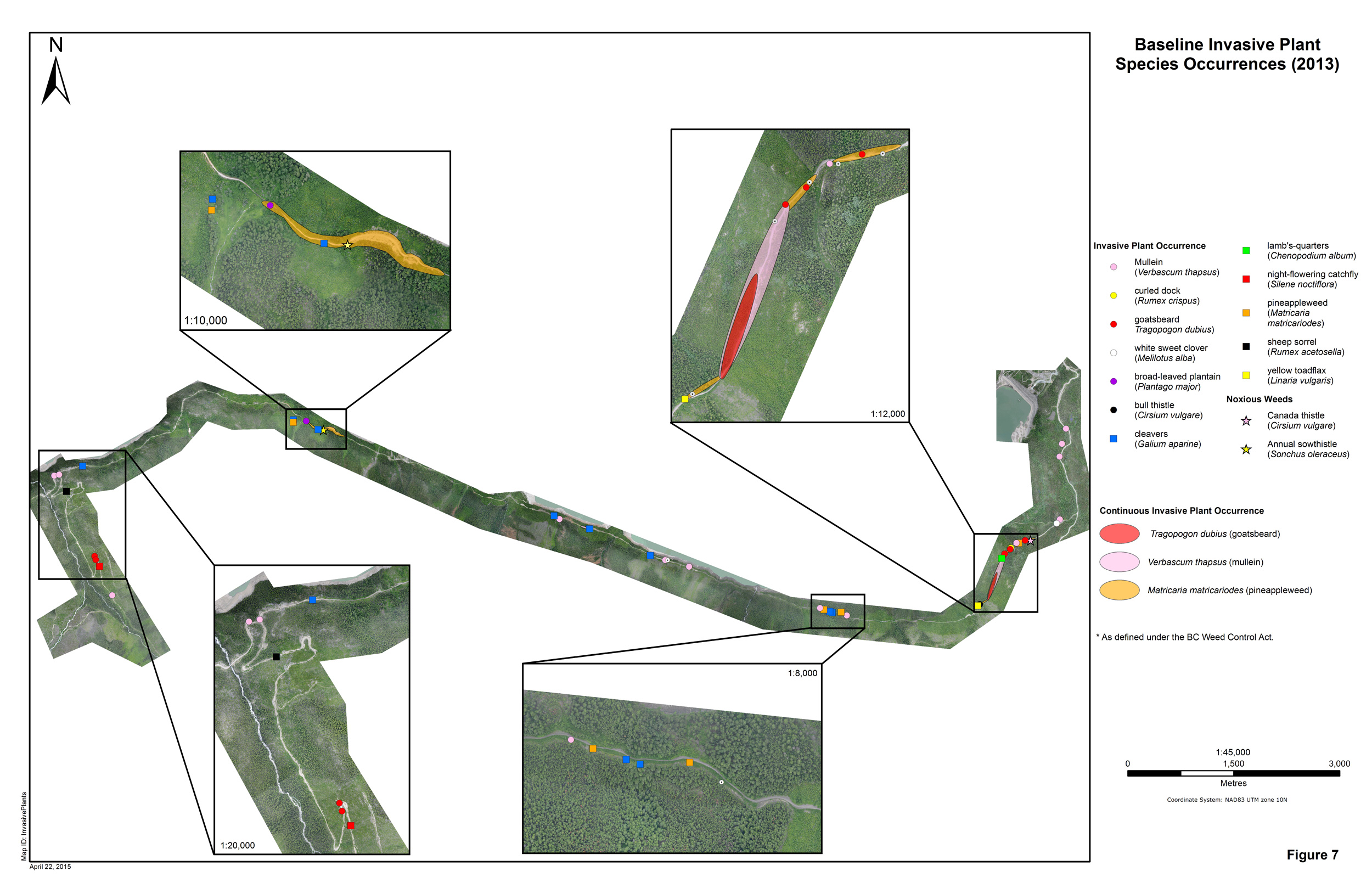
Spicker GIS Services has created many maps for clients. These maps encompass many different disciplines and project types. A number of examples are presented here.
* Please note that to protect the confidentiality of clients, any information (i.e. labels, logos, coordinates) that could reveal the project or its location has been removed from the maps and figures in this gallery.
